Page 1 of 1
Ice Bridge?
Posted: Mon Feb 17, 2025 4:59 pm
by treeplanter
Canadian ice map from today. An ice bridge has formed between IR and Ontario. That shade of purple means ice is 3"-6" thick, though I suspect a good wind will blow it away. We haven't seen an ice bridge in years.

Re: Ice Bridge?
Posted: Mon Feb 17, 2025 5:12 pm
by RedLeg
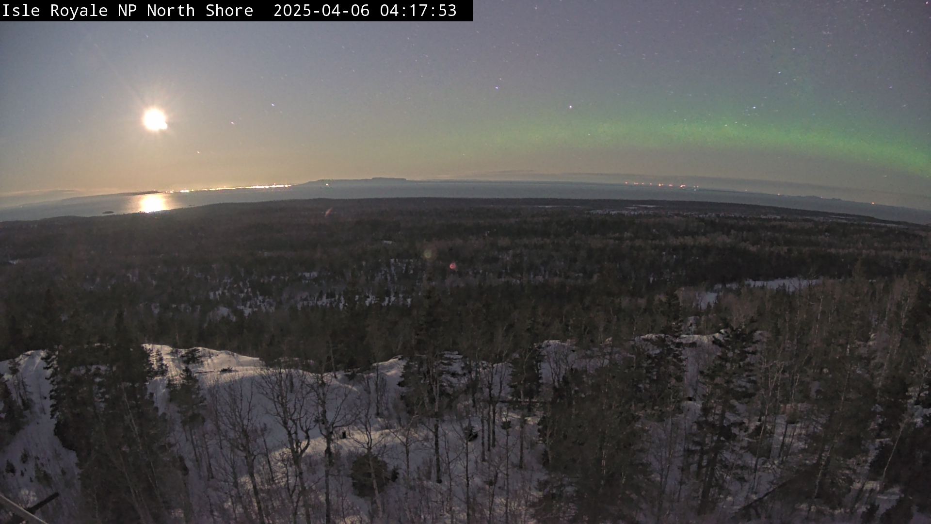
You can't really tell much from the NorthShore camera but it honestly doesn't look like it yet. Its hard to tell from the NOAA site either, I see some starting on the 15th & 16th but i don't see a 17th data set yet.
https://www.nps.gov/webcams-isro/northshore.jpg
https://coastwatch.glerl.noaa.gov/satel ... ification/
Re: Ice Bridge?
Posted: Mon Feb 17, 2025 5:42 pm
by backwoods doc
Well let's not tell the wolves! They might see this as an opportune moment to abandon the U.S. and escape to Canada.
Re: Ice Bridge?
Posted: Mon Feb 17, 2025 6:13 pm
by treeplanter
One formed last week (from about McCargoe Cove to Ontario), but it broke up in the wind. We'll see how long this one lasts.
Re: Ice Bridge?
Posted: Tue Feb 18, 2025 3:05 pm
by treeplanter
Tuesday, February 18th update. The ice bridge has gotten bigger, but may be short lived, Big warmup forecasted for next week.

Re: Ice Bridge?
Posted: Thu Feb 20, 2025 4:49 pm
by treeplanter
Today, 2/20/2025 was a rare clear day.
